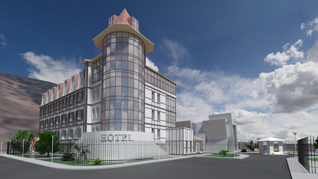
ArchoPlanet
Main page:
https://github.com/snovvfall/ArchoPlanet
ArchoPlanet is based on:
Blender - 3D modelling tool
Openstreetmap.org - cartographic data
NASA SRTM - topographic data
ArchoPlanet allows you to view map data and landscape in 3D
Buildings, roads and other objects are viewed depending on their parameters
More urban analysis and other features are to be implemented in the future
You can use data from ArchoPlanet to insert your own new objects into existing environment
How to use:
1) Download and unpack the folder somewhere:
https://github.com/snovvfall/ArchoPlanet/archive/master.zip
2) Download and install Blender if you don't have it yet
Official website is blender.org
3) Launch ArchoPlanet.blend
4) In the bottom half of the window you will see a text with parameters you can tweak
It you want to use 'Srtm' or 'Osm and Srtm' mode you need to download
file with desired coordinates from here:
http://dds.cr.usgs.gov/srtm/version2_1/SRTM3/
5) Hit "Run script" button located just above the parameters, usually near the center of the screen
The process may require several minutes
6) If you used 'Srtm' or 'Osm and Srtm' mode you will likely see big strange objects after the process finishes, remove them
This problem will be fixed in the future
If you are new to Blender, hover the mouse somewhere over top half of the window
Press mouse wheel and move the mouse to rotate view
Press mouse wheel and Shift to pan the view
Press 'Z' keyboard button to see through all objects
Press 'A' until orange color is gone to deselect all objects
Press 'B', press left mouse button, move rectangle so it covers strange
big objects and hit left mouse button again to select them
Press Delete or 'X' to remove selected objects
For developers:
To run it in the console under Linux or MacOS X you may need to go to
ArchoPlanet directory with 'cd' command and launch the main file,
for example: cd /home/username/ArchoPlanet && blender ./ArchoPlanet.blend


+2014-03-23-21-51.png)
+2014-03-23-19-36.png)


+2014-03-23-20-39.png)
+2014-03-23-21-12.png)
+2014-02-16-01-01.png)


+2013-12-16-17-20.png)
+2014-04-25-18-10.png)